home logbook photos sources maps links

    maps maps of thr River Thames  
  maps of the Estuary    


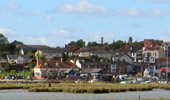
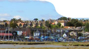
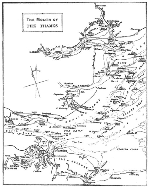
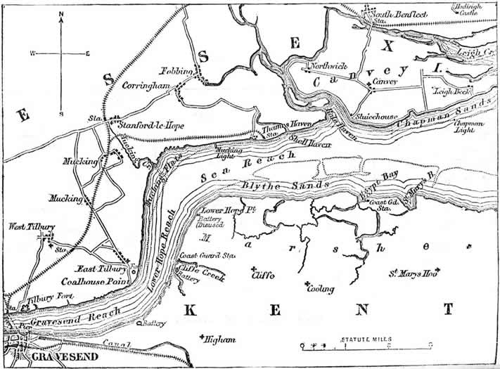
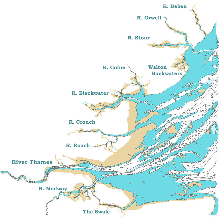
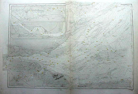
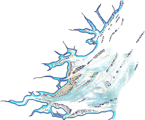
charts of the Estuary
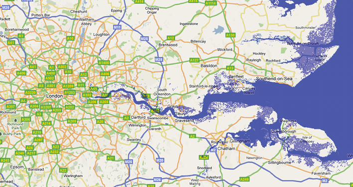
 
       
  satellite photos    


maps of London

 
  historic maps    
       
    historic charts  
       
    site maps    
     
  14th-century map of Britain (detail) 14th-century map of Britain  
     
  14th-century map of Britain(detail)  


  map of the River Thames and   map of the River Thames and The Estuary  
  The Estuary    


  map of the Thames Estuary   The Mouth of The Thames  


    map of the River Thames and The Estuary  
     rel=  
  the River Thames downriver      
      map of Sea Reach  
  map of the River Thames downriver    


map of Sea Reach
  East Anglia   East Anglia  
      road map London to the Sea


        road map London to the Sea
         
map of the River Thames


The River Thames    
  chart of the Rivers of the Estuary antique chart of the River Thames  
  chart of the Rivers of the Estuary antique chart of the River Thames and The Estuary  


work in progress

If you want to be in the know about your user statistic and those of the other users of this site, click on this link to the webanalysis, log in under the user name "I_m" and the password "informed" and you'll be surprised.

top | home | logbook | photos | sources | maps | links

© Jan Holthusen 2012 | Webmaster

BETTY smacks cruising the Thames Estuary janholthusen

please contribute to Amnesty International

please contribute to Medecins Sans Frontieres

please contribute to Greenpeace please contribute to Friends of the Earth International please support WWF please join the attac network sprendet für Robin Wood